Boundary
A parcel of land can be thought of as a puzzle piece fitting in among many others. Boundary surveys aim to determine where exactly a given parcel fits in relation to its neighbors, and thus who has which rights in which places.
These surveys begin with extensive records research to identify how and when a given parcel was created, how and when its neighboring parcels were created, and what rights are associated with each parcel (e.g. easements allowing others to run utilities across the parcel).
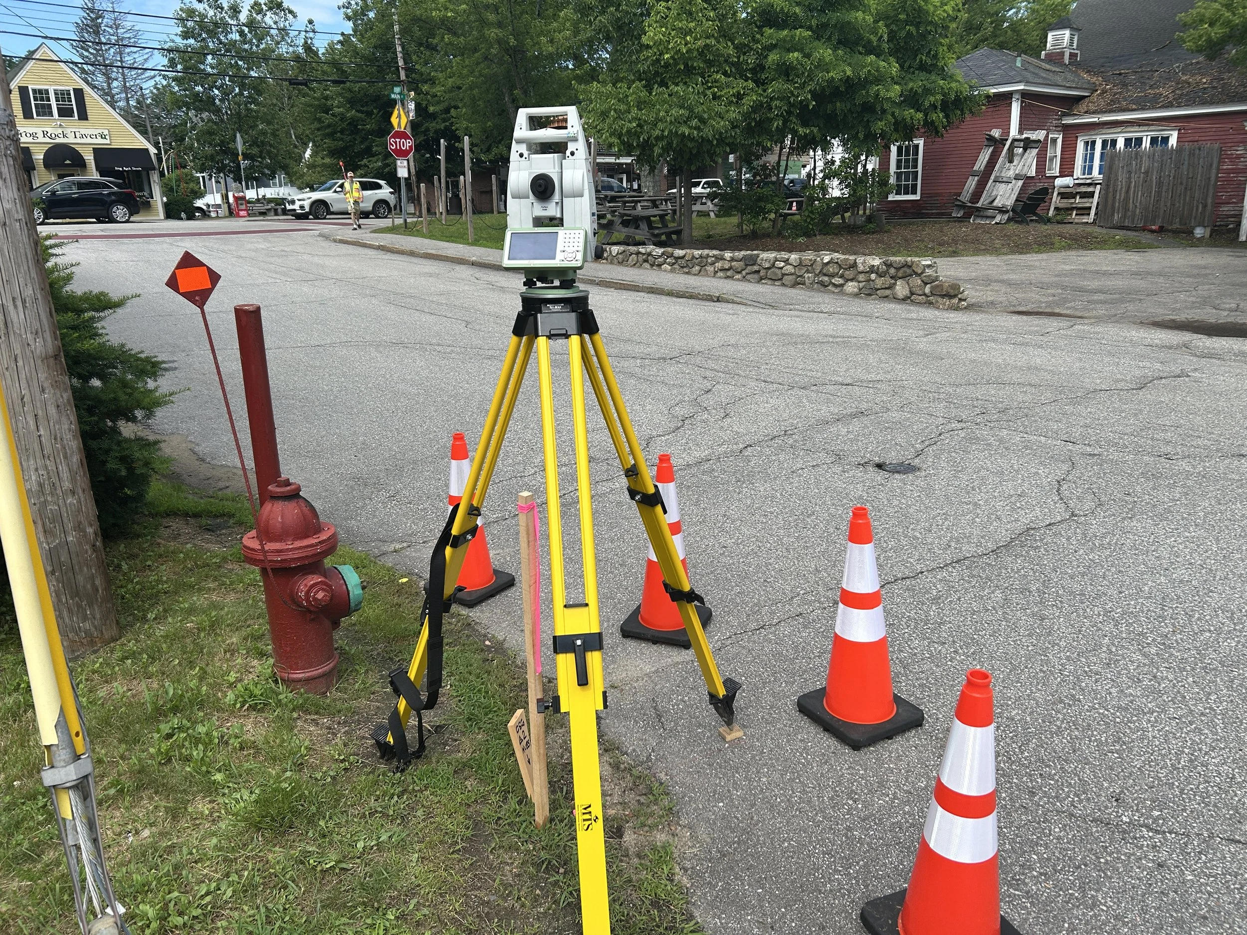
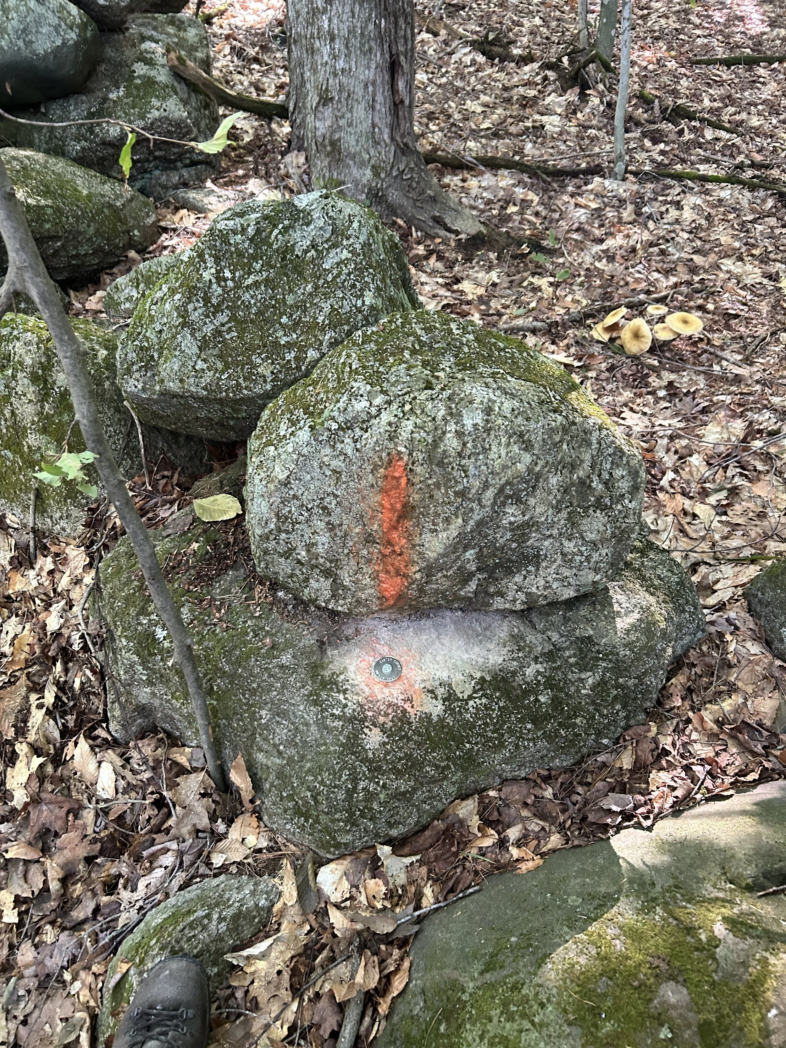
The next step is extensive research on the ground to locate the features that are called for in various written records as delineators of ownership, etc. This is followed by a precise field survey of those features using a variety of survey equipment to measure the angular and distance relationships between those features.
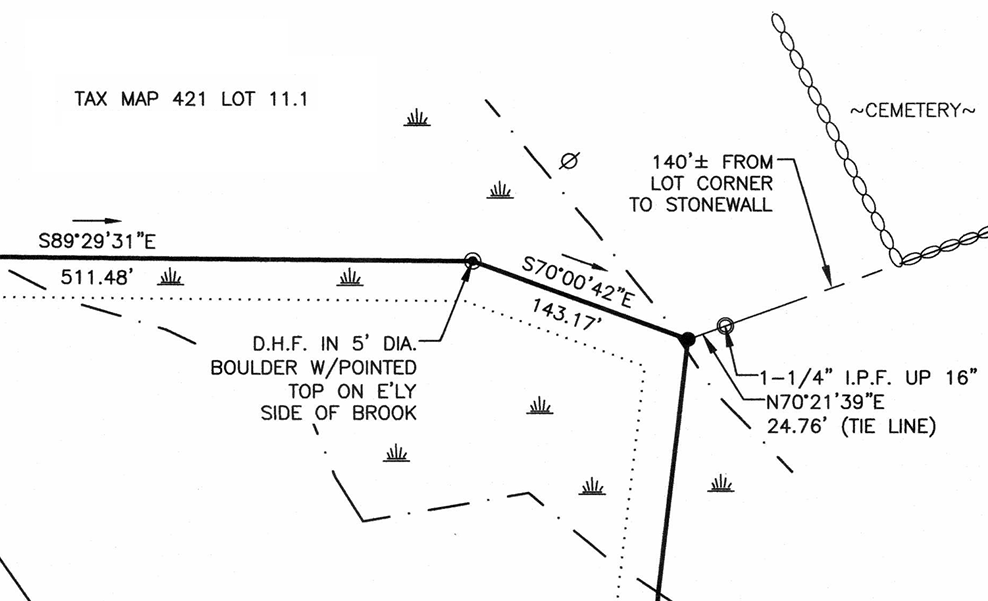
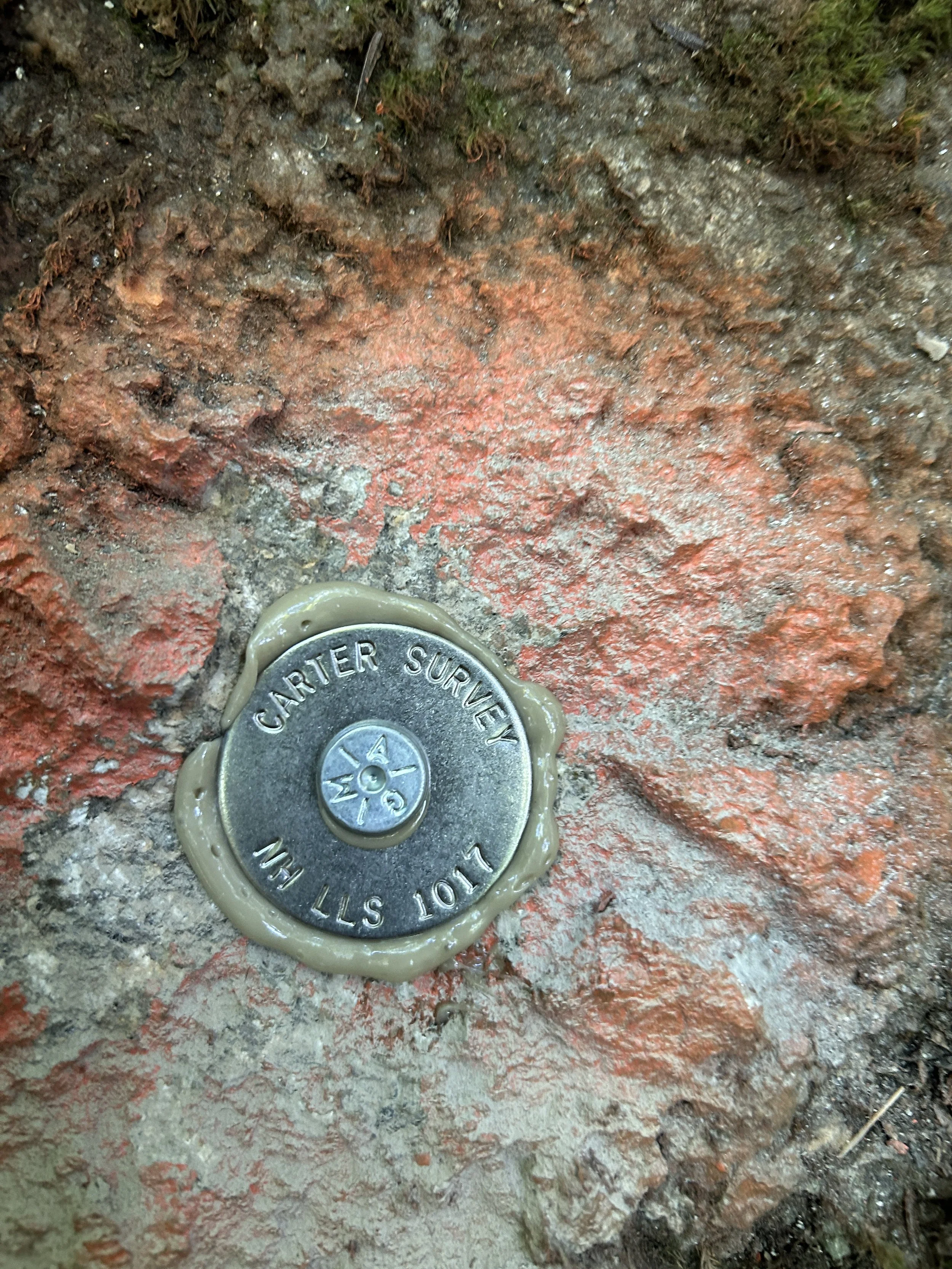
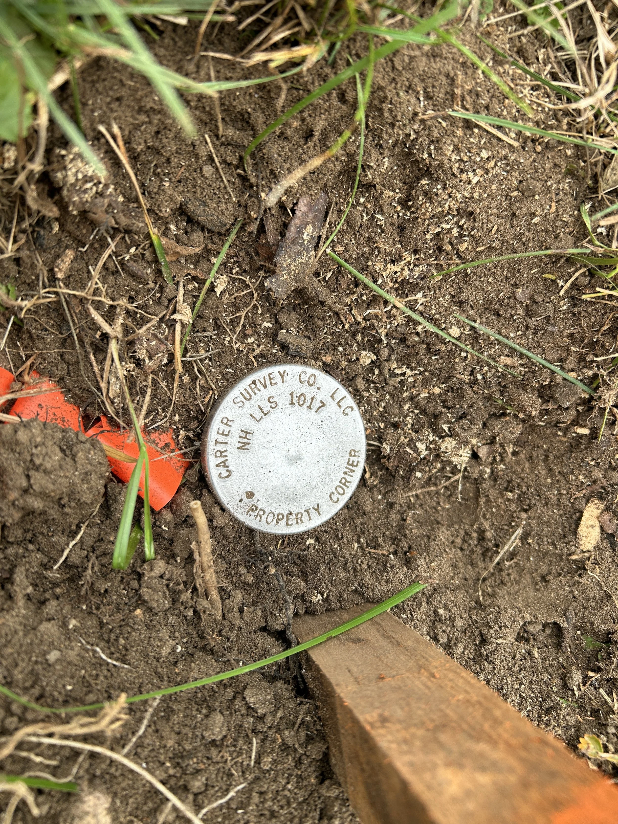
Finally, a plan (a map) is produced showing lines with bearings and distances around the perimeter of the parcel along with descriptions of the “monuments” (e.g. granite bounds, iron rods, centers of streams, etc.) located along the lines and/or at the ends of those lines and also showing the locations where easements (if any) are located