Topographic
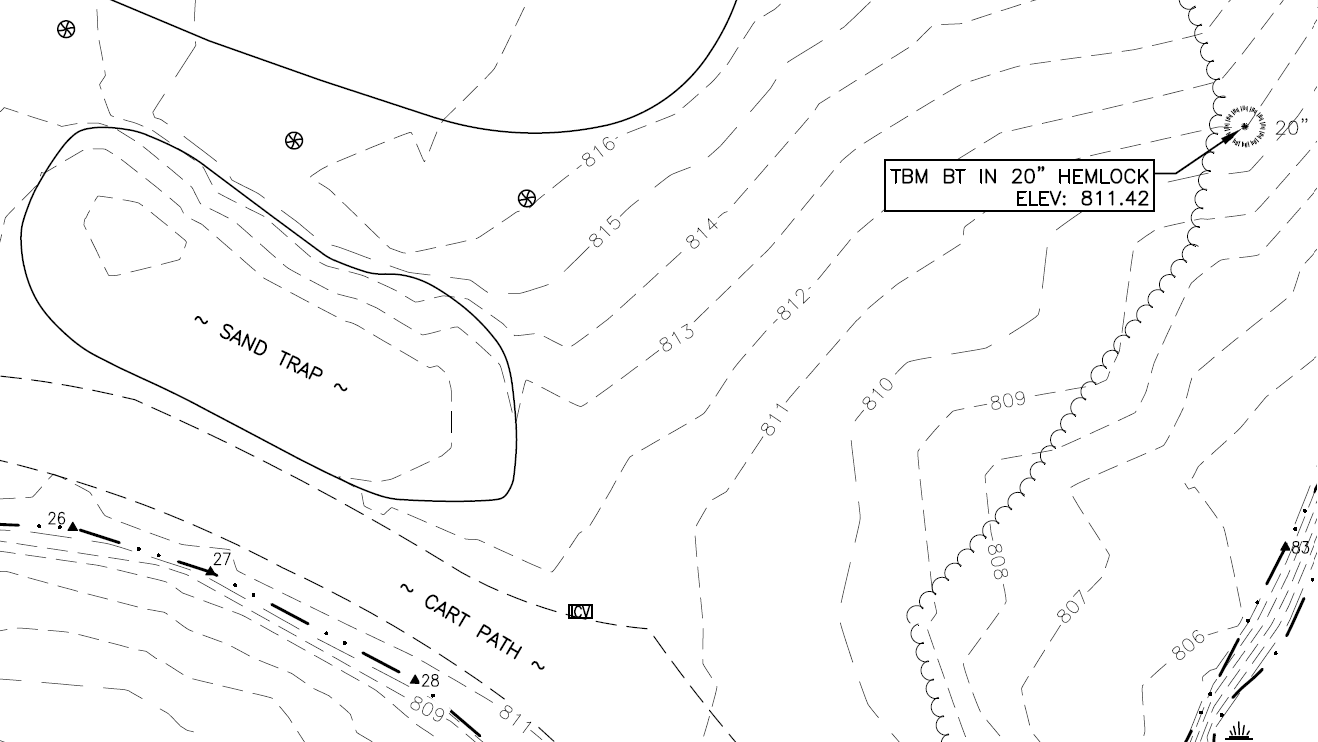
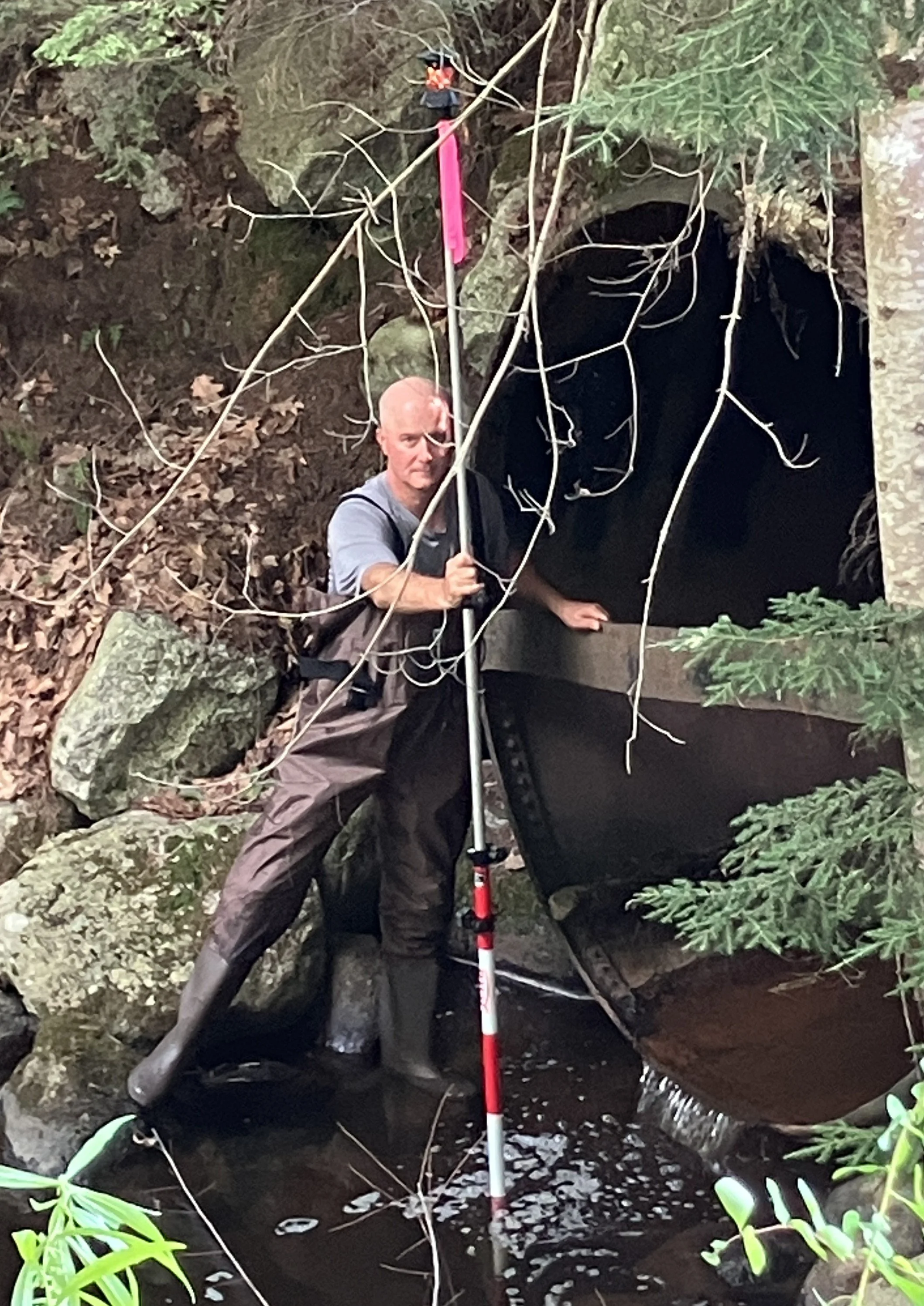
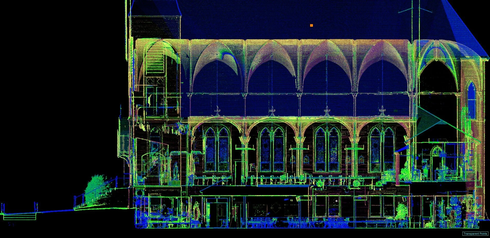
Topographic surveys capture the “lay of the land” and the many features existing on that land such as buildings, roads, trees, stonewalls, utilities, etc. We show these features on maps where changes in elevation across a parcel are represented by contour lines.
These types of surveys generally show significantly more detail about what is on a parcel of land, but they are not intended to represent the legal boundaries of a given property.
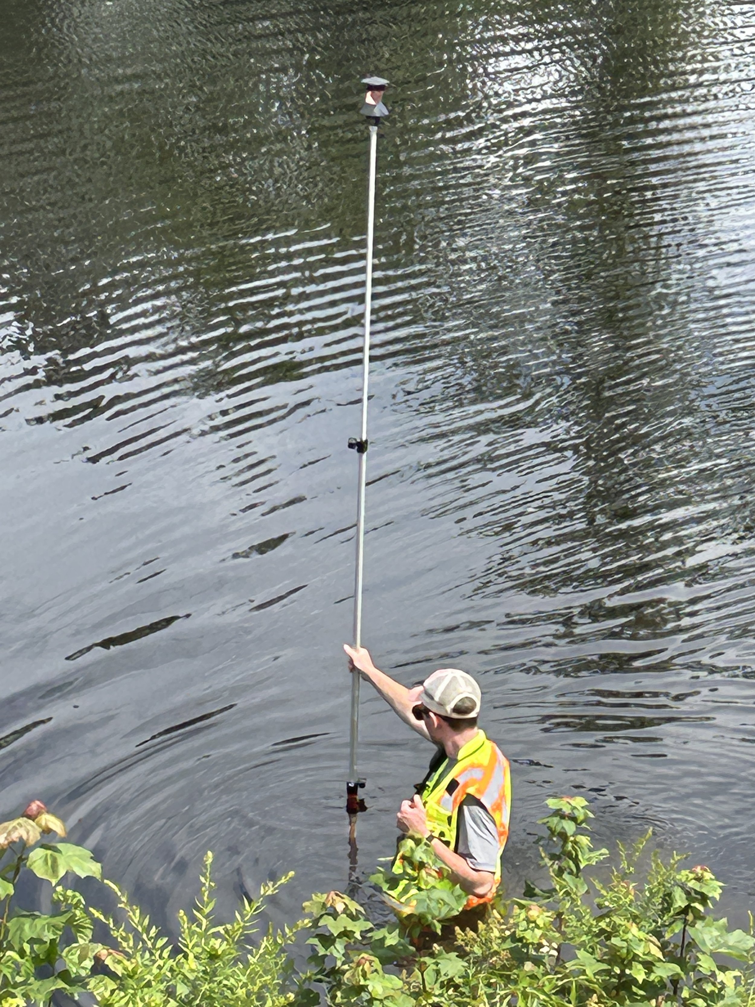
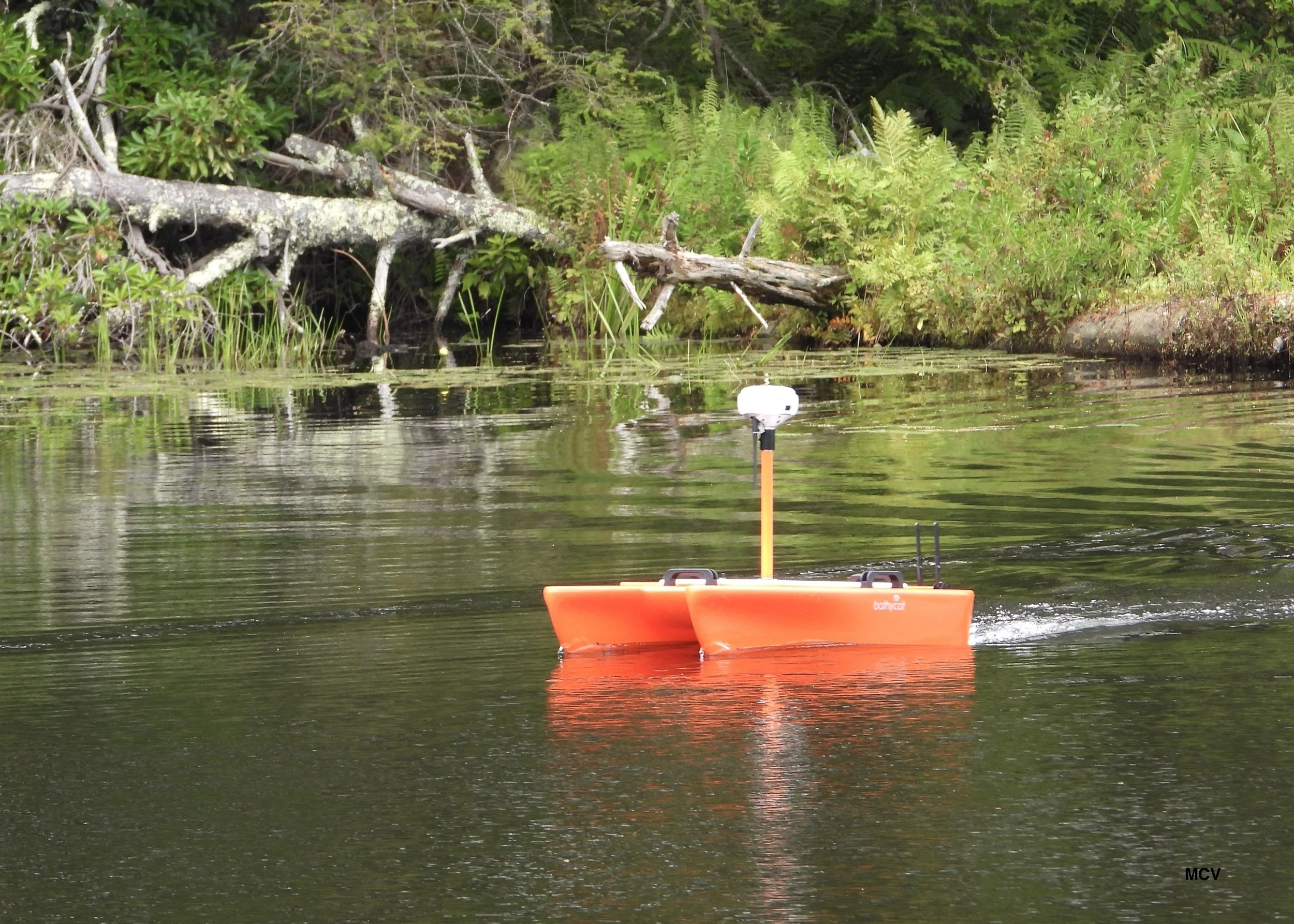
Topographic surveys can also be performed below water; for example, to capture the “lay of the land” at the bottom of a lake or pond. We have a variety of equipment (including a remote-controlled catamaran fitted with an echo-sounder) that allows us to perform these “bathymetric” topo surveys safely and efficiently